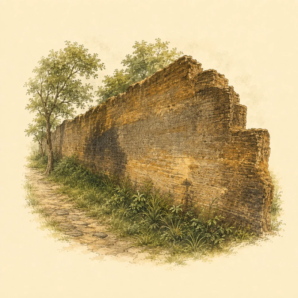
ThenThe governor's camp wall in a tin-mining town by the sea route
1840·1881 (B.E. 2383·2424)
VerifiedThe Takua Pa Governor's Residence Wall was probably built during the tenure of Phraya Senanuchit (Nuch Na Nakhon), governor of Takua Pa, around 1840·1881 (B.E. 2383·2424), but academic sources have not identified a definite construction start year. The wall enclosed the residence and administrative area, functioning like a fortification to protect against danger and provide shelter for townspeople
This was the period when Takua Pa grew through its tin-mining economy and coastal trade. The old town lies along the Takua Pa River, which connects to the Andaman Sea and multinational trade networks. Chinese communities involved in mining and trade played an important role, but conflicts over mining interests made a secure protected area necessary. The wall was therefore both the ruler's residence and a means of maintaining order in the town
The interior layout was divided into the front palace, hall, and rear palace, connected by doorways. It was built with layers of mortar mixed with gravel and sand, on a base wider than the wall itself. The surviving sections are about 5 metres high. Later excavations found Qing-dynasty Chinese ceramics, European ceramics, and contemporary materials, reflecting the town's trade contacts at the time
BeforeFrom a lived-in residence to a historical site protected by the old town
1881·2025 (B.E. 2424·2568)
VerifiedAfter Phraya Senanuchit (Nuch) left office, the wall and residence continued to be used during the tenure of Phraya Senanuchit (Iam Na Nakhon), from 1881·1892 (B.E. 2424·2435). King Chulalongkorn visited Takua Pa and viewed this residence on 28 May R.S. 109, or 1890 (B.E. 2433)
Later, when the town was relocated to Ko Kho Khao and Ban Yan Yao during the tenure of Phraya Narathipphakdi (Sit Na Nakhon), the former residence lost its official role and was probably abandoned from that period. The verifiable sources found no evidence confirming that the wall was used for another purpose or directly damaged by the 2004 tsunami (B.E. 2547)
The Fine Arts Department (Fine Arts Department) registered it as an archaeological monument and defined its land boundary in the Royal Gazette, Volume 113, Special Section 50 Ngor, dated 18 December 1996 (B.E. 2539). It was later cleared and excavated in 1999 (B.E. 2542), followed by restoration and landscaping in later periods. Current sources state that the wall is more stable, but some areas still need care because of weeds and roots
NowA living historical site: the old wall becomes Takua Pa's stage
2569 / 2026
VerifiedToday, the Takua Pa Governor's Residence Wall is an archaeological monument open to visitors every day free of charge. An archaeological-site database lists the joint custodians as the Fine Arts Department (Fine Arts Department), Takua Pa Municipality (Takua Pa Municipality), and the Na Nakhon family. The grounds include a lawn and some walkways, with information signs from the Fine Arts Department and the Tourism Authority of Thailand (Tourism Authority of Thailand)
The site no longer serves as the governor's residence, but it remains a landmark in the old town and a venue for ceremonies and community activities. In 2026 (B.E. 2569), Phang Nga Province (Phang Nga Province) and Takua Pa Municipality (Takua Pa Municipality) held the event “From Takola to Takua Pa, 12th edition” at the residence from 28 February·3 March. It featured khon, nora, and nang talung performances, blessing and Buddhist chanting ceremonies, and sales of local food and OTOP products
Contemporary use of the site is therefore heritage tourism and learning about life in Takua Pa. At the same time, some sections of the wall remain damaged and have plants growing on them. The verifiable official sources have not announced a new restoration project or specific budget details for 2026 (B.E. 2569)