Place notes · Parks and public spaces

Thung Phra Pho Park

Thung Phra Pho Park

5 verified items

Then · Before · Now ↓

สวนสาธารณะทุ่งพระโพธิ์

Then · Before · Now

Then

From a riverside field to a town park

Not verified

Accessible documents have not yet specified the starting year of construction, the builder, or the first project of Thung Phra Pho Public Park. Therefore, the "origin of the park" can only be told as much as the evidence allows. The park should not be tied directly to the tin mining era or maritime trade because there are still no documents to verify such continuity.

The context of the area is Takua Pa town in the old town zone, which has a history of settlement and trade across various eras, including the Chinese community and the mining economy. However, the verified role of Thung Phra Pho in contemporary documents is a public open space for town activities, not a mining building or an archaeological site with clearly identified builder histories.

Before

A public space handling water, merit making, and town adaptation

2556·2565 / 2013·2022

Verified

In 2013 (2556 BE), the park was named in the building control announcement of the Takua Pa old town area, meaning this area is within the old town landscape where the state dictates construction control. However, the announcement did not state the year of construction or the original layout of the park.

Municipal plan documents during the 2022 (2565 BE) fiscal year specified a project to construct and install electrical control cabinets inside the park with a budget of 460,000 baht, and also specified a project to dredge the Thung Phra Pho irrigation canal and construct a Takua Pa canal pier (Thung Phra Pho). This reflects that the park is related to water management and town infrastructure. Meanwhile, a 2013 (2556 BE) news report recorded that Thung Phra Pho was an installation point for water pumps when flooding occurred.

Old town project documents specify holding Loy Krathong (November full moon festival) here on the full moon day of the 12th lunar month, along with krathong contests, performances, and folk games. As for the evidence found, it does not yet verify the impact of the 2004 (2547 BE) tsunami, abandonment, change of hands, or the registration of the park specifically as an archaeological site.

Now

A municipal park that remains a stage for daily life

2569 / 2026

Verified

Current map data identifies Thung Phra Pho as a public park in Tambon Talat Yai, near Wat Na Mueang, Fire Station 2, and the old city wall. Thus, it still serves as an open space in the old town area, but no official announcement has been found that verifies opening and closing hours, admission fees, or specific on-site facilities.

The verified usage in 2026 (2569 BE) is that Rongrian Takua Pa Khiri Khet (Takua Pa Khiri Khet School) organized a Takuapa Walk Rally activity on 8 March 2026 (2569 BE) at Thung Phra Pho Public Park and the old town area, reflecting the use of the park as an outdoor learning spot, promoting health, and publicizing local culture.

Municipal documents also verify the picture of usage for health and children, such as a health park and a playground, and old town documents specify Loy Krathong as an annual activity. However, the latest physical condition reports, long-term restoration projects, or more detailed caretaker announcements other than being a municipal area have not yet been found.
Dot timeline

  1. Verified

    2013 (2556 BE)

    Park within the old town building control zone

    The Royal Gazette lists the park as an exception within the construction control boundary of Takua Pa old town.

    Read source ↗
  2. Verified

    2021 (2564 BE)

    Municipality manages electricity and water plans

    There are projects to install electrical control cabinets in the park and plans regarding the Thung Phra Pho canal or pier.

    Read source ↗
  3. Verified

    8 March 2026 (2569 BE)

    Checkpoint for the Old Town Walk Rally

    Takua Pa Khiri Khet School uses the park and the old town area as a route for cultural learning and health promotion activities.

    Read source ↗
  4. Not verified

    Year unspecified

    Year of establishment not verified

    No documents directly stating the year, founders, or reasons for establishing the park have been verified.

    Read source ↗

No image authorized for publication yet

Highlights to see

Health park

Not verified

Municipal documents state that the municipal park area, which includes Thung Phra Pho, has a health park.

Read source ↗

Proximity to the Sunday Market

Not verified

Municipal documents state that the municipal park area has a playground.

Read source ↗

Location in the old town

Not verified

Located near the old town wall and Wat Na Muang according to map data.

Read source ↗

News and updates

2026-03-08 · Rongrian Takua Pa Khiri Khet (Takua Pa Khiri Khet School)

Takua Pa Khiri Khet School participates in Takua Pa Walk Rally 2026 (2569 BE)

The event uses Thung Phra Pho Public Park and the old town area as a walking and running route to learn about local history and culture.

Read source ↗

Did you know

Verified

Thung Phra Pho is the venue for the Loy Krathong festival in Takua Pa old town on the full moon day of the 12th lunar month, featuring contests and performances.

Read source ↗
Verified

The municipal plan included a project to install an electrical control cabinet in the park with a budget of 460,000 baht.

Read source ↗

Getting there

Takua Pa Town

Not verified

Located in Takua Pa town, near Wat Na Muang and the old town wall; use navigation maps to reach the specified coordinates.

Read source ↗

Phuket

Not verified

No readable sources found specifying the route and specific distance to this park

Read source ↗

Khao Lak

Not verified

No readable sources found specifying the route and specific distance to this park

Read source ↗

Airport

Not verified

No readable sources found specifying the route and specific distance to this park

Read source ↗

Nearby and similar places

FAQ

Getting there from Takua Pa Town

Located in Takua Pa town, near Wat Na Muang and the old town wall; use navigation maps to reach the specified coordinates.

What is the history of this place?

Thung Phra Pho Public Park is in the Takua Pa old town area under the construction control boundaries according to municipal ordinances. Municipal plan documents state that this park has a health park and a playground.

What are the highlights to see?

Municipal documents state that the municipal public park area, including Thung Phra Pho, has a health park. Municipal documents state that the municipal public park area has a playground. It is near the old city wall and Wat Na Mueang according to map data.

Data Sources

NameTypeDate accessedLink
Mapcarta / OpenStreetMapOther resources2026-09-07Open source ↗
Royal Gazette, Takua Pa Old Town building control ordinanceOfficial agency2026-09-07Open source ↗
เทศบาลเมืองตะกั่วป่า (Takua Pa Town Municipality) Environmental Operation PlanOfficial agency2026-09-07Open source ↗
Samnakngan Noyobai Lae Phaen Sapphayakon Thammachat Lae Singwaetlom (Office of Natural Resources and Environmental Policy and Planning): Old town area boundary determination projectOfficial agency2026-09-07Open source ↗
Witthayalai Kan Achip Takua Pa (Takua Pa Industrial and Community Education College)Official agency2026-09-07Open source ↗
MGR OnlineNews2026-09-07Open source ↗
เทศบาลเมืองตะกั่วป่า (Takua Pa Town Municipality) Operation Plan 2022 (2565 BE)Official agency2026-09-07Open source ↗
สผ. (ONEP) Takua Pa Old Town boundary delineation projectOfficial agency2026-09-07Open source ↗
Rongrian Takua Pa Khiri Khet (Takua Pa Khiri Khet School)Official agency2026-09-07Open source ↗
MGR OnlineNews2026-09-07Open source ↗
Missing data
  • Opening hours: No official announcement found.
  • Admission fee: No data found.
  • Phone number, Facebook page, website, and LINE specific to the park: Not found.
  • Address and verified postal code for the specific point: No primary source found.
  • Founding year and creator: Not found.
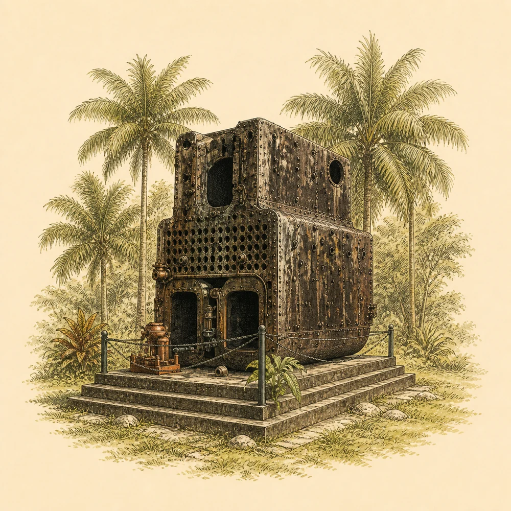
  • The steamboat boiler and its trade connection: Found only in initial user data, so it is not cited as evidence.
  • Details on wheelchair access, parking, restrooms, and best time to visit: Not found.
  • A verified duration for visits could not be found.
  • The founding year, creator, and reason for establishing the park.
  • Specific role during the tin mining era, maritime trade, and town governor era.
  • Impact from the 2004 tsunami.
  • Abandonment, change of hands, or other uses in the past.
  • Registration as a historical site specifically for the park.
  • Opening hours, admission fee, latest physical condition, parking, restrooms, and wheelchair access.
  • Restoration or development projects ongoing in 2026.
  • Old and current photos with verifiable usage rights.